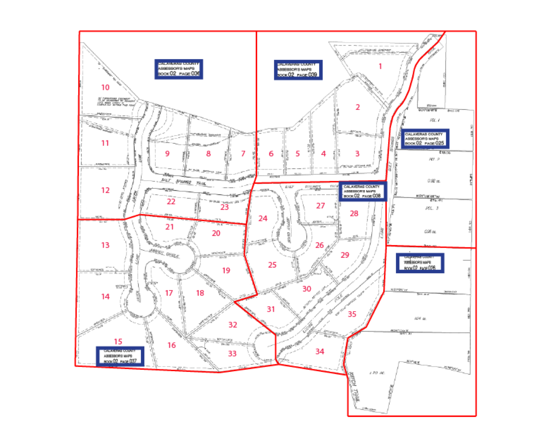
Calaveras County has made electronic copies of the Assessor’s Maps available, reproduced here for convenience. The map above was assembled from these with positions of adjoining parcels approximated. Click on an outlined sector to download the original map.
Please note that Assessor Parcel maps are designed for assessment purposes and are not official survey documents. Data provided is for informational purposes only. The maps and data available here are NOT CERTIFIED. If you require information or maps for ANY legal purpose, please contact the County Assessor’s Office for assistance (209-754-6356).
Note: As of Feb 2024, the Assessor’s Maps will display with boxy artifacts when using some web browsers. Save the file to your local disk and those artifacts will be eliminated.
